Another lovely sunny day, so we set off for the glorious Pembrokeshire coast for another of our walks. Although it is now the height of the holiday season here in Wales and there are more people on the beaches few people seem to venture far from the tourist spots. So it is quite possible to have this glorious countryside mostly to yourself.
This walk starts at the Bedd Morris standing stone at SN 038 365
To get there turn left off the main Newport to Dinas road (A487) immediately after leaving Newport. The road is signed Fford Bedd Morris.

Bedd Morris has had an eventful history since its Bronze Age origin; incorporated in the boundary of the parish of Newport, it also formed a route node for the medieval Newport-Haverfordwest highway, or ‘Ffordd Bedd Morris’, which still crosses Mynydd Carningli. In later years it is said that the name is said to derive from the bandit Morus who once lived among the rocks and robbed travellers. It is etched with a surveying benchmark and other inscriptions.

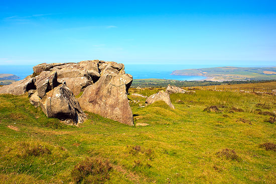
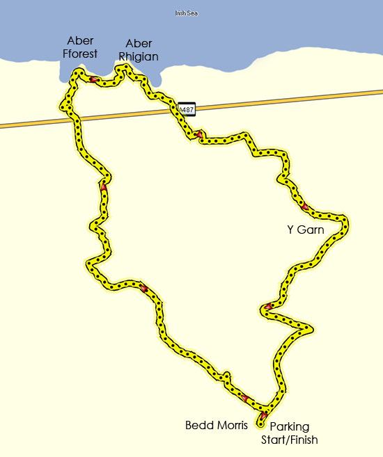
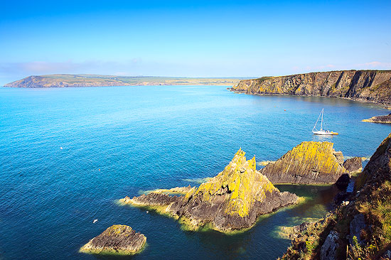
Park at the car park by the standing stone then walk slightly back down the road before turning left off the road at the wooden finger post towards a large outcrop of rocks (photo above). From here you can follow a well worn path that descends down toward the coast. This eventually turns into a farm track before reaching the A487. Cross the main road and proceed down a concrete track (slightly to your right after crossing the road) and go through a farm yard. Eventually, near some cottages, you will see a sign pointing you to the coastal path. Take this and turn right following the coastal path with amazing views (see photo below) until you come to Aber Rhigian.

When you come to a small wooden bridge leave the coastal path and follow the path inland back up a shady path. You will eventually reach another vehicular track that will bring you back to the main road. Turn left on the A487 and after fifty yards or so turn right up a small road/track towards Holm House. Follow the footpath (slightly boggy and indistinct in places) to Y Garn. Here you join and turn right onto the tarmac road for a little way before turning right at the first junction up a road that has a sign showing it is a no through road. After several hundred yards this road degenerates into a track you turn left up a footpath that brings you back onto the road to the car park where you started.
The walk is about 6 miles and will take a reasonable walker about 3 hours. We spent longer stopping for lunch and to watch the birds on the coastal cliffs. The gradient back to the car park is not steep despite the fact that you walk from sea level to nearly 300m.

